

Class on February 20 2018
Rob shared some seafloor drilling data with the class after lecturing on the state of the art in sea floor drilled
core analysis. Scientists model the movement of tectonic plates as a result of heat convection in the mantle.
Plates move and new seafloor needs to be created wherever plates move apart and leave a spreading center. Sediment
analysis helps refine tectonics models by identifying sediment depth and age (which then provides a rough rate
of sedimentation).
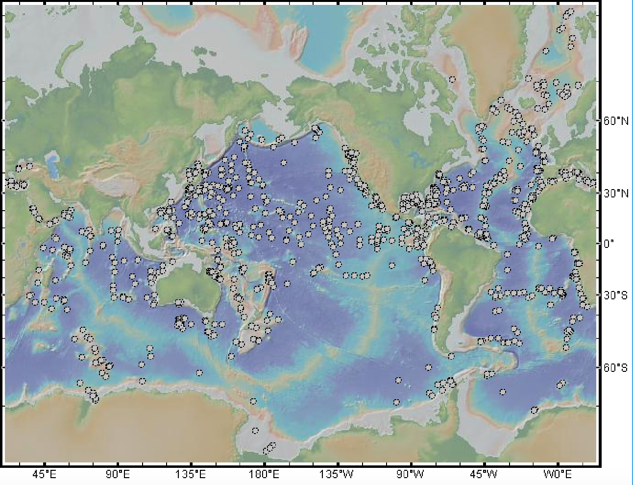
More than 3000 holes have been drilled in the seafloor worldwide since 1966 in order to provide insight to modeling approaches and groundtruth modeling results. A map of some of the drilling sites appears below:
Sediment build up can be dated at different depths through the types of flora and fauna fossils found, magnetism from magnetic materials (comparing to magnetic north orientation at different ages), and radiocarbon dating. Other investigative techniques add credence to the evidence chain.
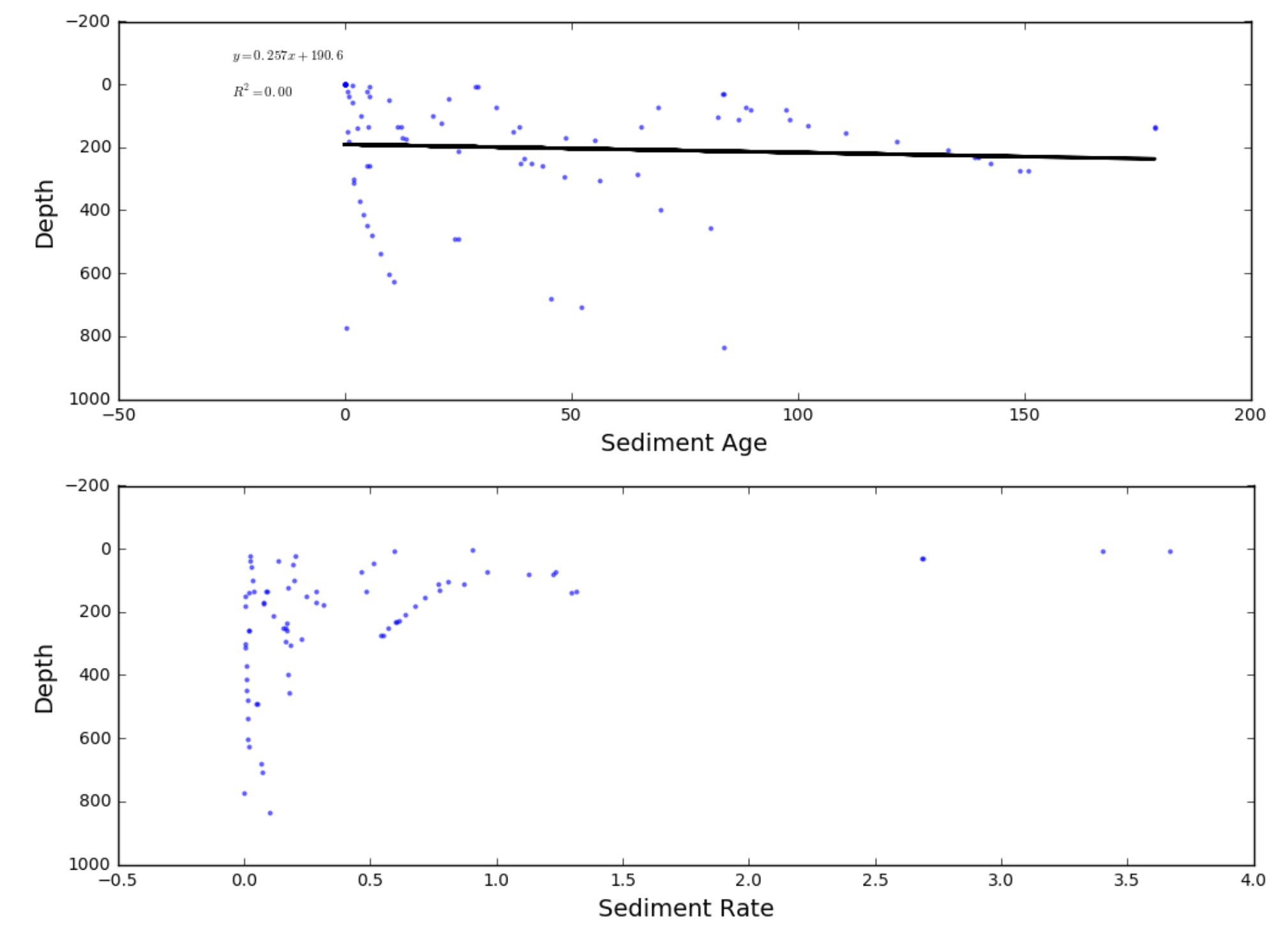
Students used Python in a Jupyter notebook setting to create scatter plots and trend lines of sediment age and growth rates compared to depth. They were asked to create ten separate plots for the ten drill sites shared by Rob.
More than 3000 holes have been drilled in the seafloor worldwide since 1966 in order to provide insight to modeling approaches and groundtruth modeling results. A map of some of the drilling sites appears below:
Sediment build up can be dated at different depths through the types of flora and fauna fossils found, magnetism from magnetic materials (comparing to magnetic north orientation at different ages), and radiocarbon dating. Other investigative techniques add credence to the evidence chain.
Students used Python in a Jupyter notebook setting to create scatter plots and trend lines of sediment age and growth rates compared to depth. They were asked to create ten separate plots for the ten drill sites shared by Rob.