Class on September 26 2017
Mooring Retrieval Day
Students and Faculty used the URI skiff to retrieve two moorings that had been collecting environmental data since mid-summer. Students were organized in two groups and the first group retrieved the mooring that had been placed in the lower pond.
First group notes of interest:
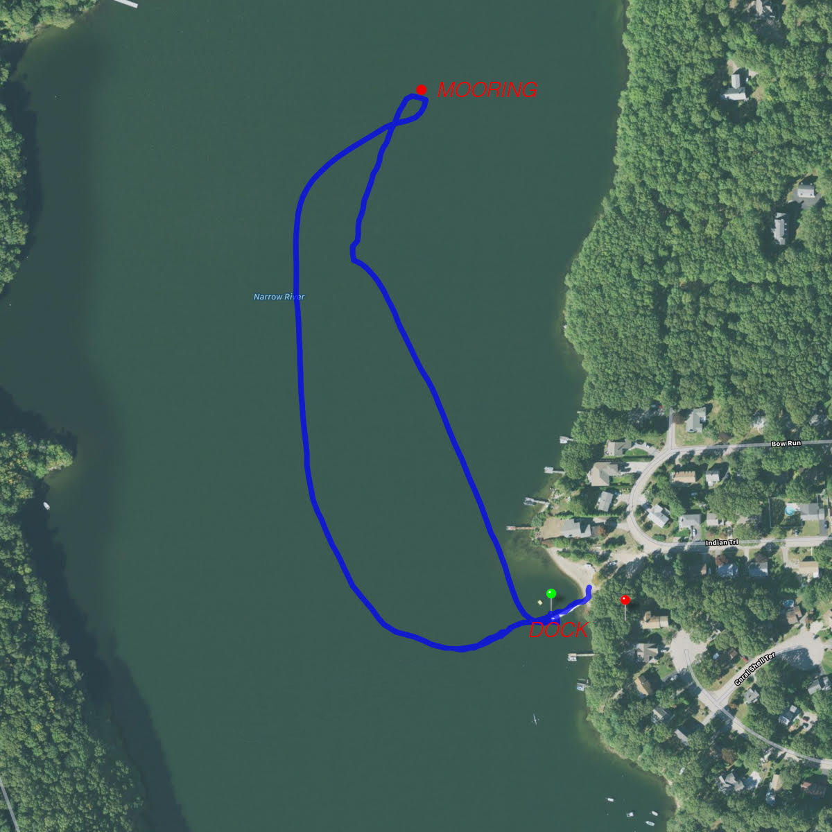
Students were interested in doing a depth transect of the lower pond from east to west and the GPS Tracks track data captured that extension after 19:33 UTC.
Students laid out the mooring along the beach that was available near the dock:
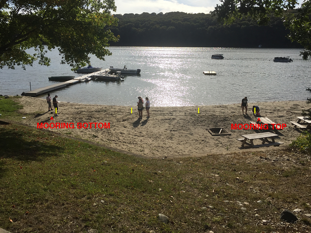
and then measured the distances at which the HOBO sensors were attached to the mooring line (HOBO locations identified in yellow above):
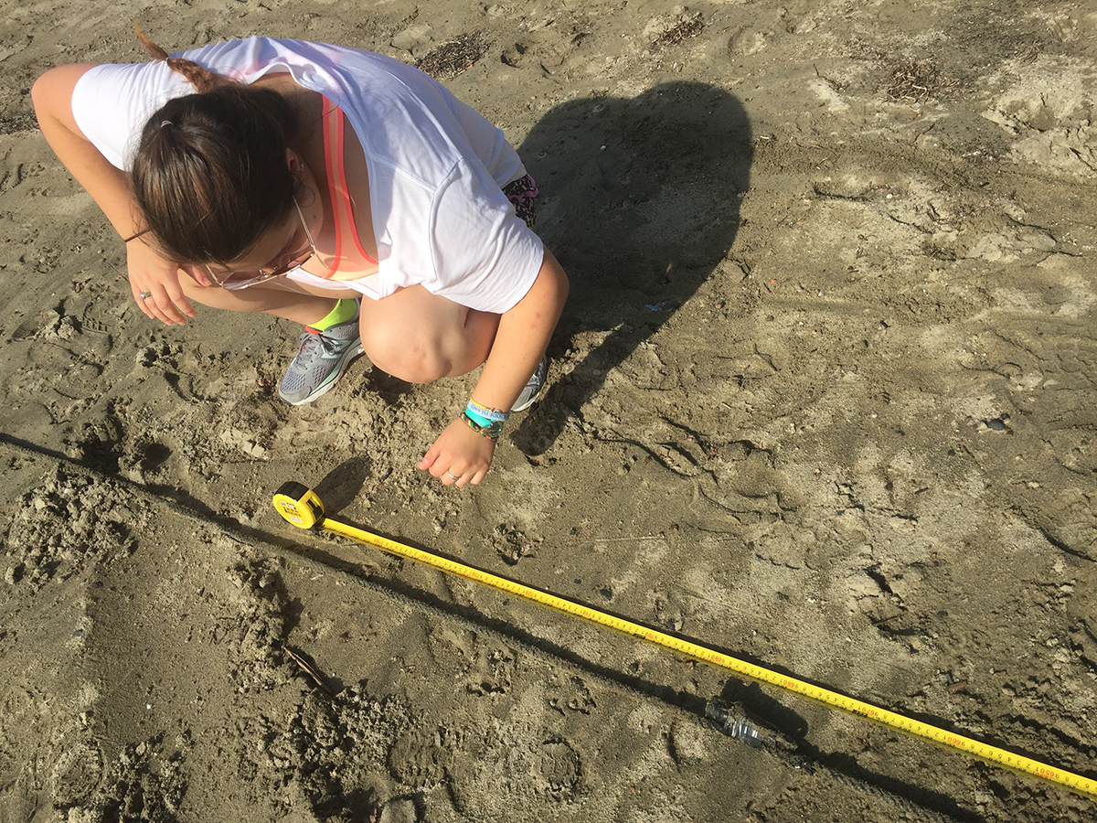
Students also verified the Serial Numbers of the four HOBOs before detaching them from the mooring line:
The students enjoyed watching a soft shell blue crab pair mating close to shore:

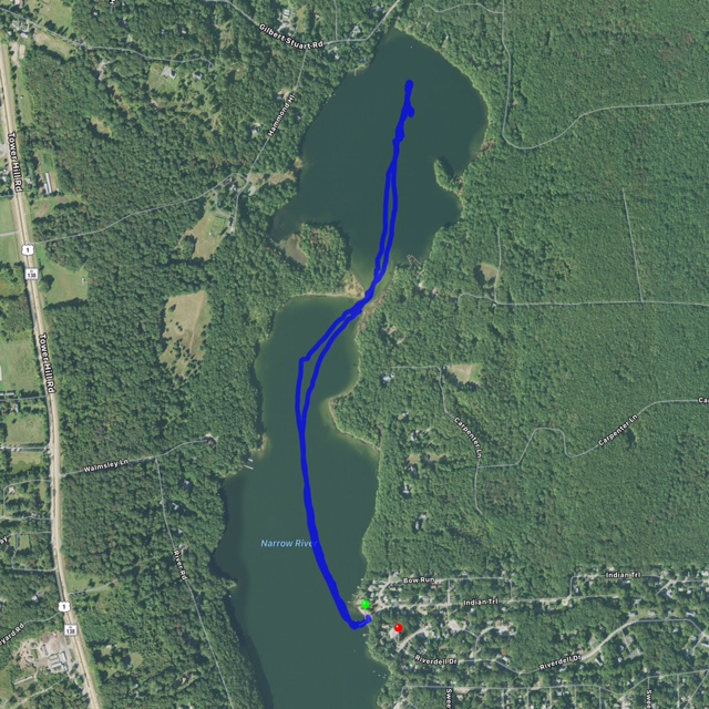
The GPS Track map for the second group's upper pond mooring retrieval has a longer path (GPS data here - CSV format):
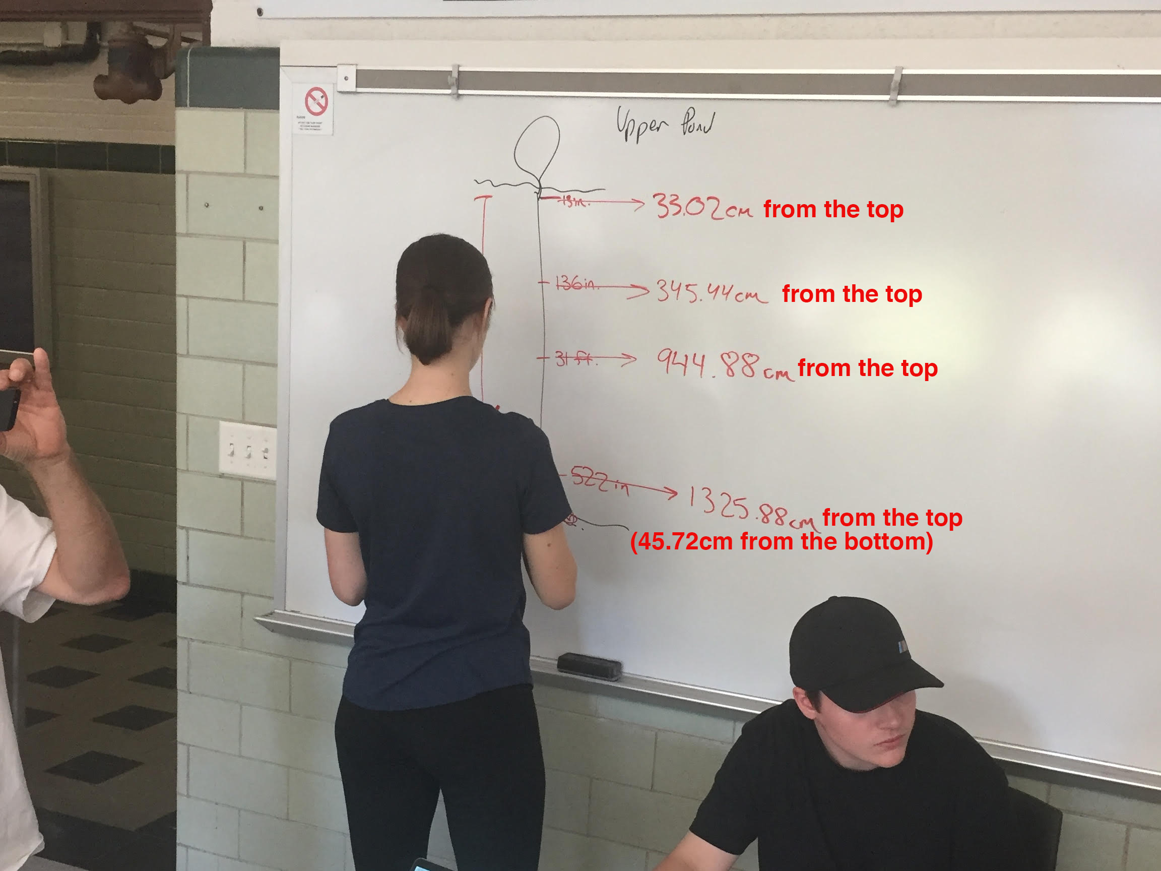
The Upper Pond mooring had four sensors attached, at the depths shown here:
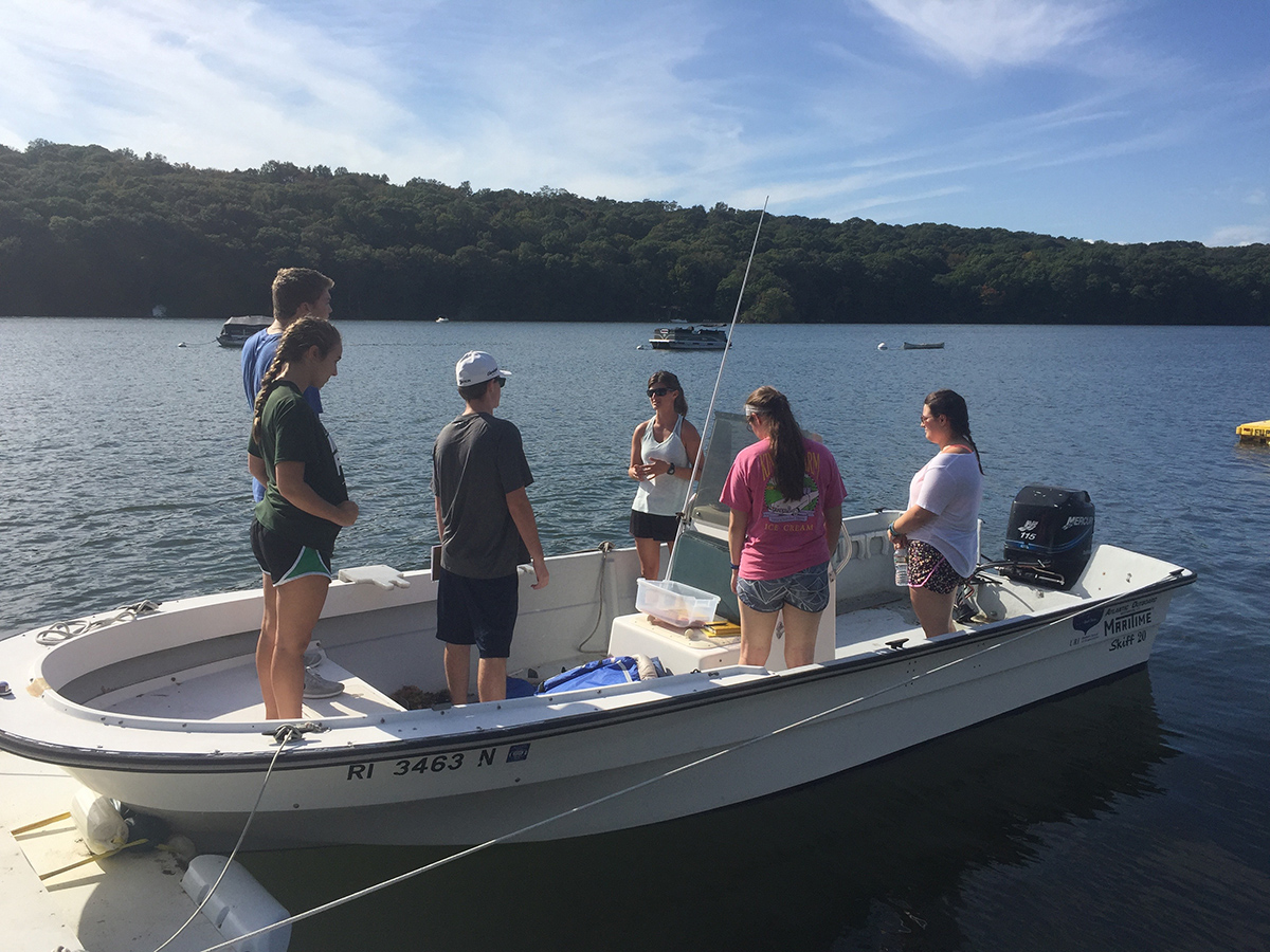
A picture of the first group on the URI skiff:
A picture of the Lower Pond mooring being retrieved from side of boat:

Class seven activities include downloading HOBO data and doing a spreadsheet analysis.
Students and Faculty used the URI skiff to retrieve two moorings that had been collecting environmental data since mid-summer. Students were organized in two groups and the first group retrieved the mooring that had been placed in the lower pond.
First group notes of interest:
- Arrival and Debriefing Time: 3:19pm EDT
- Departure from Dock Time: 3:23pm EDT
- Air Temperature at departure: 78 degrees F under sunny conditions
- Wind approximately a consistent 8 knots from the SSW
- Arrival at Mooring Time: 3:25pm EDT
- Elapsed time to pull up mooring: 21 seconds
- Depth shown on skiff depth finder at mooring location: 11.8 meters
- Boat drifted at approximately 1 knot towards the southeast after retrieval
- Departure for Return to Dock Time: 3:30pm EDT
- First arrival back at Dock Time: 3:33p EDT
- Air Temperature at arrival: 78 degrees F under sunny conditions

Students were interested in doing a depth transect of the lower pond from east to west and the GPS Tracks track data captured that extension after 19:33 UTC.
Students laid out the mooring along the beach that was available near the dock:

and then measured the distances at which the HOBO sensors were attached to the mooring line (HOBO locations identified in yellow above):

Students also verified the Serial Numbers of the four HOBOs before detaching them from the mooring line:
- Top HOBO: S/N 1100100
- 1/3 HOBO: S/N 1100107
- 2/3 HOBO: S/N 1000992
- Bottom HOBO: S/N 10985499 (includes pressure sensor)
The students enjoyed watching a soft shell blue crab pair mating close to shore:

The GPS Track map for the second group's upper pond mooring retrieval has a longer path (GPS data here - CSV format):

The Upper Pond mooring had four sensors attached, at the depths shown here:

A picture of the first group on the URI skiff:

A picture of the Lower Pond mooring being retrieved from side of boat:

Class seven activities include downloading HOBO data and doing a spreadsheet analysis.

